Hiking The Peaks Of The Balkans... The Wrong Way
Hello! Welcome to the Peaks Of The Balkans. This blog post is really for myself more than you, but if you're here and keen on learning about our experience of this trail, I sincerely hope it is both fun and helpful.
Peaks of the Balkans can be hiked many ways, but most typically it is done as a 10 day, anti clockwise circular trek. We did the trail in 10 days, but in the opposite direction, thus dubbing our experience "the wrong way 'round".
For both fun and ease, I've recorded an audio recap of each stage/day of the hike, which I've embedded in the post below, along with the trail map for each stage.
If you're here less for the specifics of the day to day experience, and want more insights, tips and tricks into how we tackled the trail as a whole, you can skip to the bottom (The Full PoB) which has a much longer audio with my recap of various notes, including some suggestions, trail beta, and general information about the region.
Thanks to anyone who has the patience and interest to listen. And if you don't, make sure to at least glance at the maps and pictures! ;)
Stage 1, Plav to Babino Polje
The first instalment of my unedited audio ramblings about the trail. This one is a longer recording as I explore how I want to talk about the trail, and our interactions with it. Stats and details of the day start around minute 4, and feel free to open the audio in Tuttu and turn up the speed if I'm talking to slow!
Map of Stage 1:
Stage 2, Babino Polje to Liqenat (Kuqishtë)
We start our discussion of Stage 2 with some notes on expectations regarding food and appetite on a long hike, dodging some demotivating Germans, and having a lovely day on the trail!
Map of Stage 2:
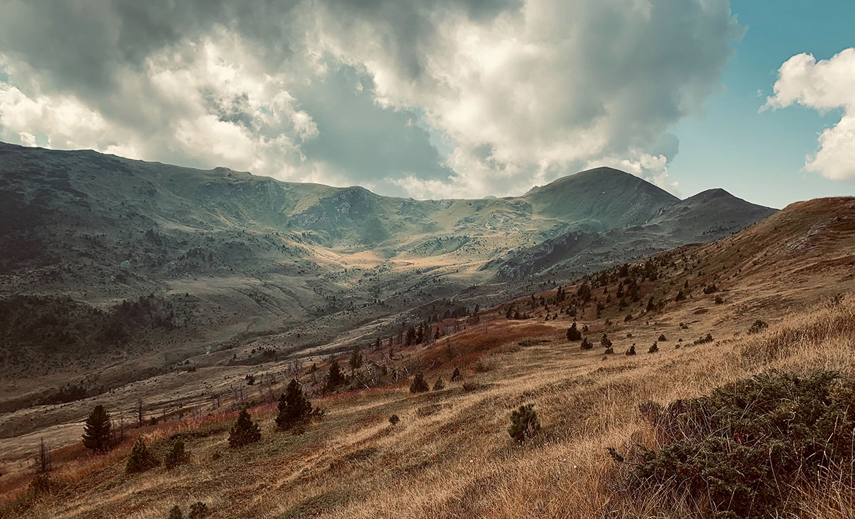
My favourite picture of the day:
Stage 3, Liqenat to Rekë e Allagës
A long painful day, and an argument that maybe this part of the trail just... shouldn't exist? Some feedback for the PoB management team. Enjoy!
Map of Stage 3:
Stage 4, Rekë e Allagës to Millishevc
A good day for an adventure Would you love it, or would you hate it?
Map of Stage 4:
Stage 5, Millishevc to Dobërdoll
Lots of wind, a very informal guest house, and some incredible food despite that. A fun day made of Stage 5!
Map of Stage 5:
Stage 6, Dobërdoll to Çerem
An easy day on the trail? Surprisingly chill and straightforward day after a rough-ish night at our previous guest house.
Map of Stage 6:
Stage 7, Çerem to Valbonë
Things go really really well... and then really really badly... This is a bit of a teaser for the intense thriller of the following days. ;)
Map of Stage 7:
I forgot to mention in the audio for today, that the route we took for Stage 7 is actually not the primary PoB trail. The original PoB takes a route that is mostly road; more evidence of a trail that was established at a point where the access and development of the area was in a different state than it is now.
In a pinch, one could take the low route, and even hitch or arrange transport instead of hiking over the mountain the way we did. But for the avid hiker, I highly encourage following variations of the route we took; which is now also included in most updated PoB information.
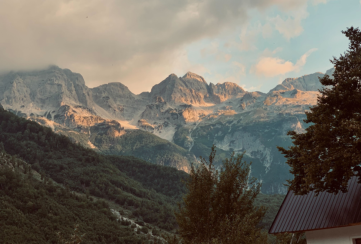
Original PoB route, not recommended unless you need a day off via hitching or transport:
Stage 8, Valbonë to Theth
A rough night, a hard decision, and a crowded but very successful day! It's so good to see that the beauty of Albania is increasingly accessible.
Map of Stage 8:
Stage 9, Theth to Vusanje
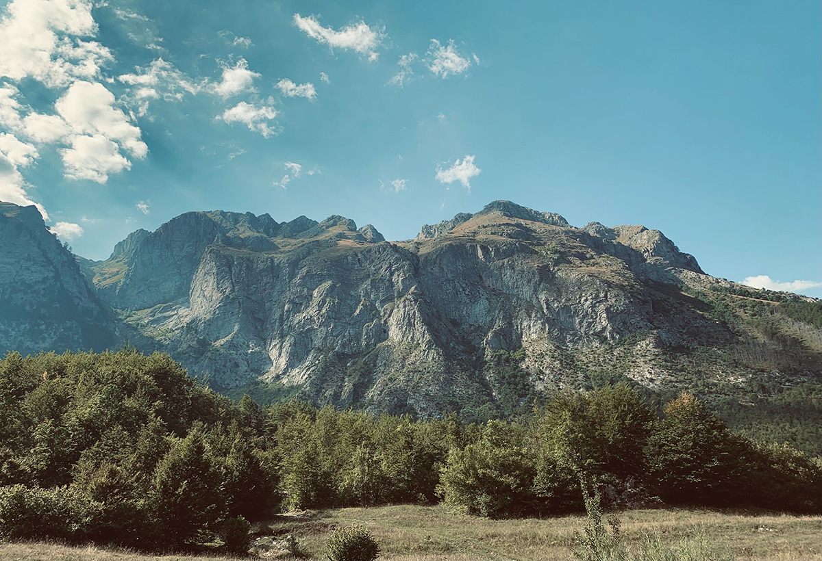
Emil's favourite day on the trail, a beautiful mountain experience in great weather, with a bit of a rough ending.
Map of Stage 9:
Stage 10, Vusanje to Plav [THE FINAL LEG!]
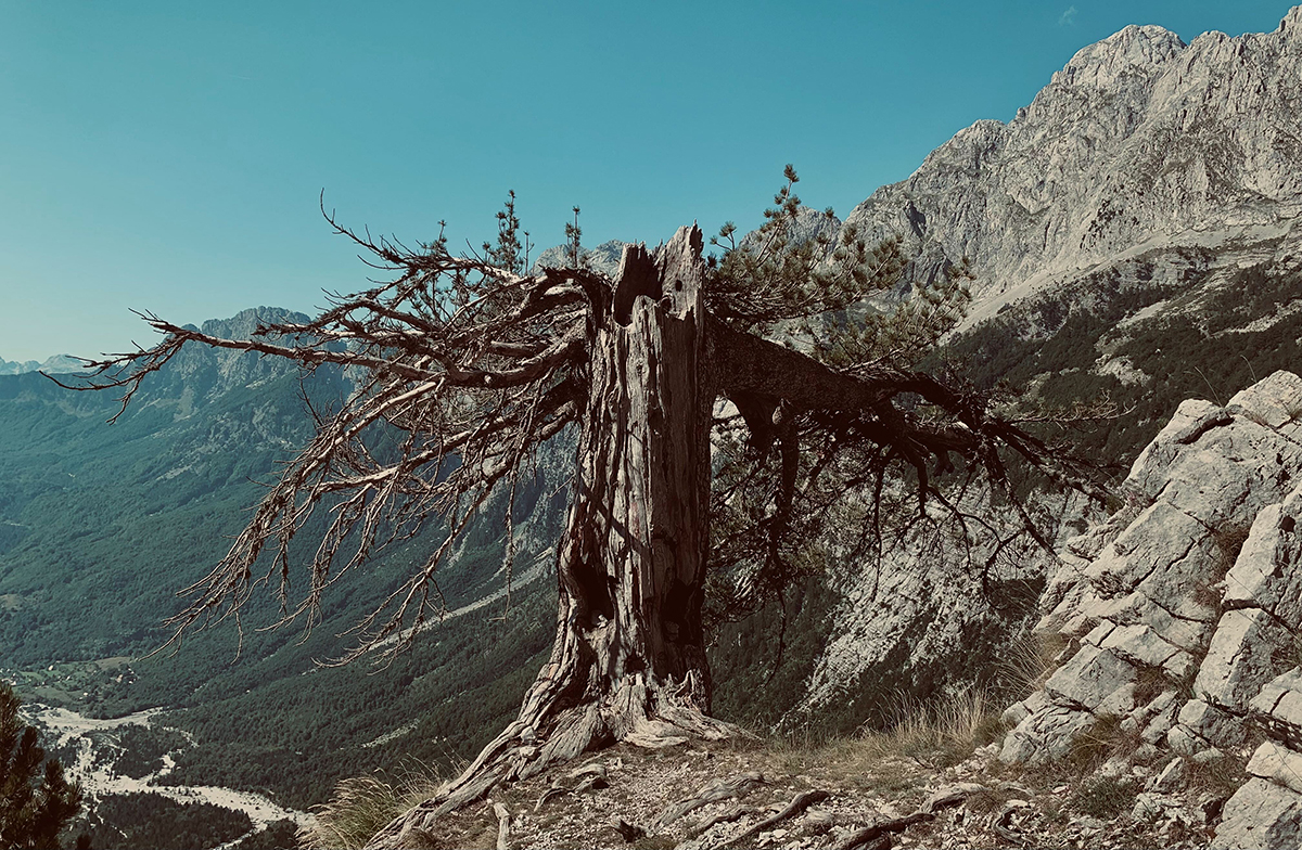
A controversial day. One that started with a difficult decision at 4am, and ended with some episodes of Schitt's Creek, our first screen time in over a week. It was a lovely journey.
Map of Stage 10:
The Full PoB
Already listened to the 2.5 hours of stage-by-stage audio? Well here is my route notes, where I ramble on about planning, research, accommodation, tactics, gear, and hiking perspectives as apply to our 10 days on the route.
Listen to the Full PoB here.
Full Route Map:
Other Thoughts & Notes:
Some things I haven't discussed in any of the above are additions and alternatives to the traditional PoB. Apart from my proposal of removing the most northern 2 stages, there are a lot of great opportunities throughout the route to stay an extra night and hike surrounding peaks. Doberdol is a particular notable spot for this, as you have access to what is considered Kosovo's highest peak (though unofficially it is several meters shorter than a peak in southern Kosovo, but shhhhh).
The PoB also has an extension route, which we didn't have time to consider this time around. I've created a version of the full map inclusive the extension, which adds a good chunk of KMs and a few extra peaks into the trip. You would likely need to schedule at least 1 extra night, breaking this extension into two stages:
\ \ With research and clever timing there are also opportunities to swim in lakes if you're on the trail earlier in the season; as well as an opportunity to see and hike through some snow if you hit the mountains before summer really kicks off.I've said pretty much everything I've wanted to say in the audios, but I will say again that we had a really excellent time on this trail, and I'm so pumped that this region is getting the love it deserves.
Thanks to anyone still listening, reading or watching our review of this trail, and hopefully see you in the comments.
Warmest regards,
Emil & Melissa